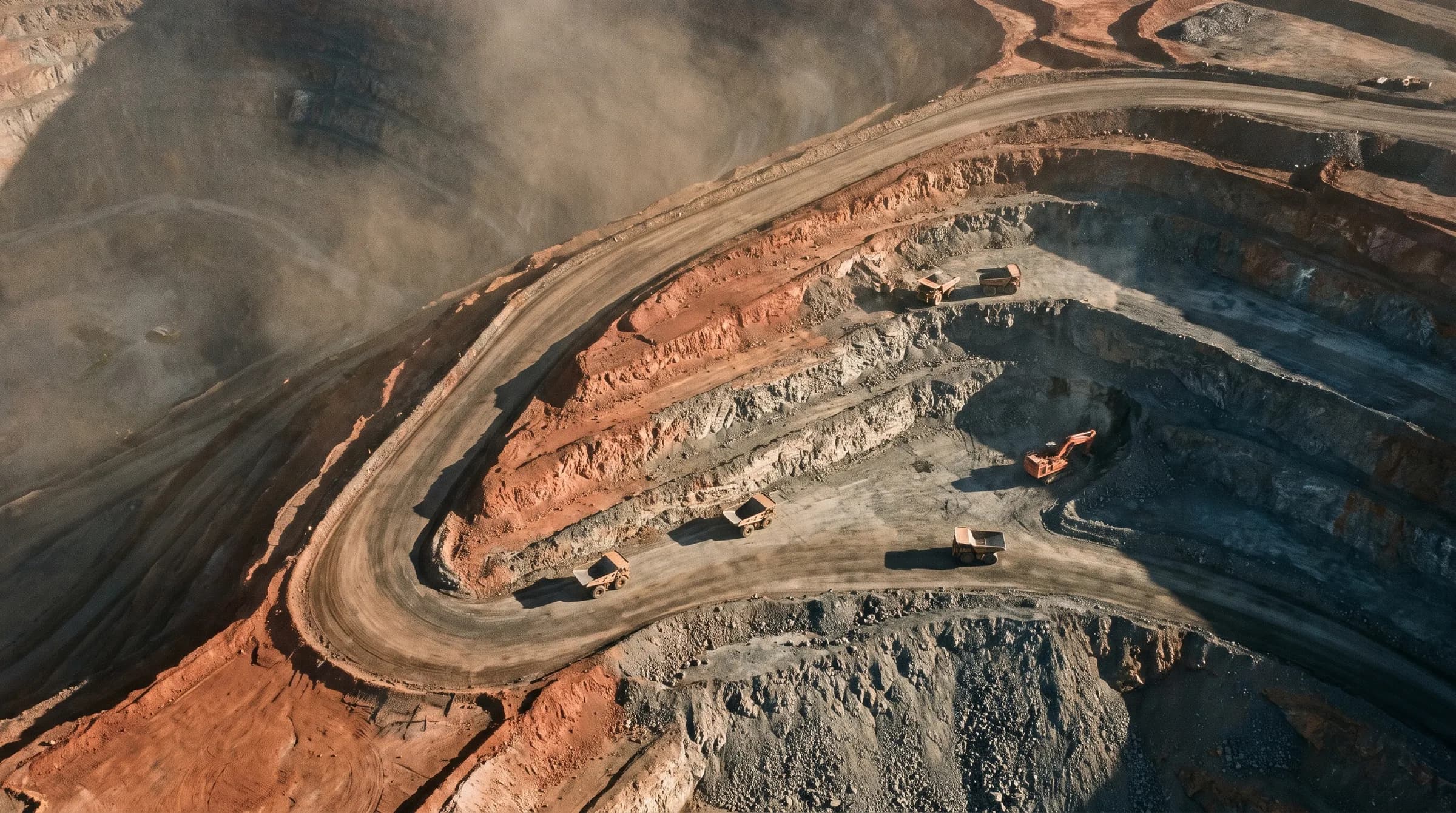
Aerial survey · Perth, Western Australia
Data your surveyor will accept.
Aerial survey for mining, civil and agriculture. Every dataset ships with the control report that proves its accuracy — checkpoint residuals, control network, datum. Not adjectives.
- ±25 mm
- Horizontal
- ±40 mm
- Vertical
- 48 h
- Flight to delivery
01 / What we capture
Five capabilities, one accuracy standard.
Each one has its own page, its own specification and its own deliverable list. Pick the measurement you need.
01
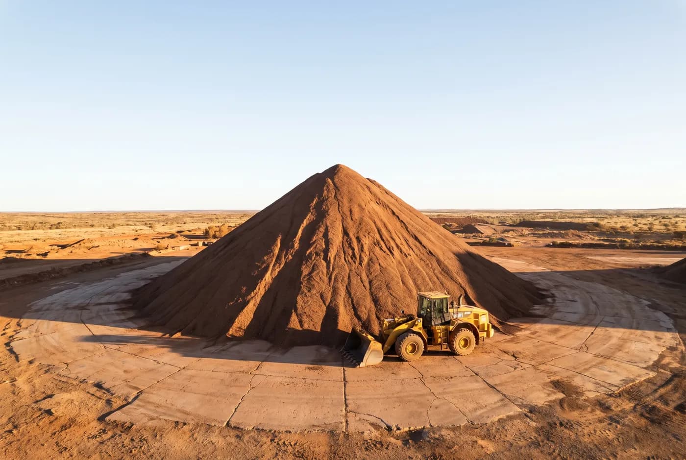
Stockpile volumetrics
Volume per stockpile against a stated base surface, with the surface supplied so your own people can recalculate it.
±25 mm horizontal →
02
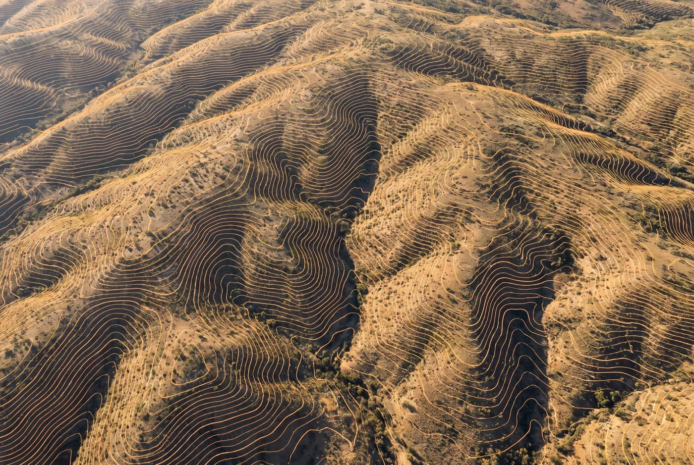
Topographic and as-built survey
Contours, breaklines and terrain models at your stated interval, in the format your design software already opens.
±25 mm horizontal →
03
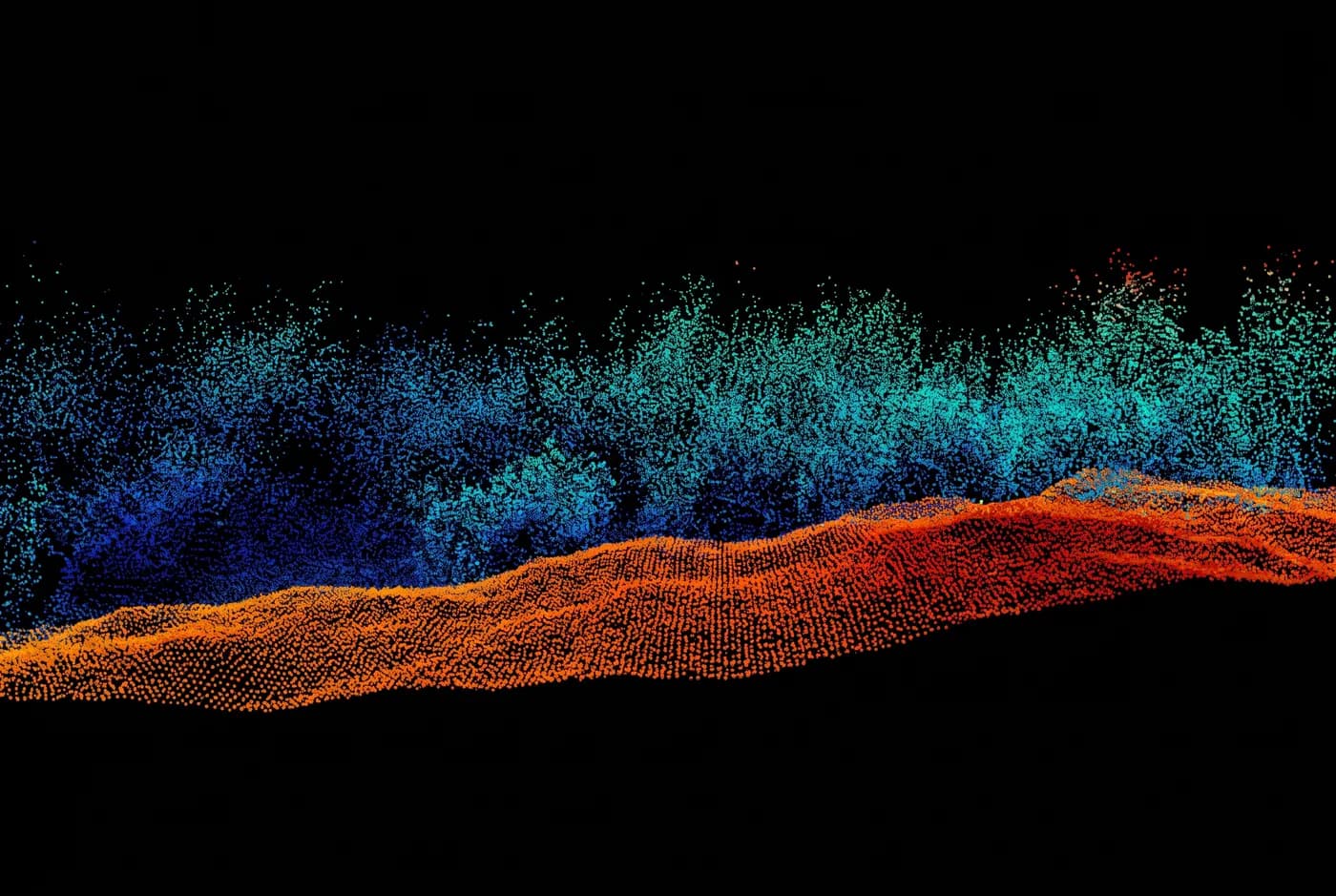
LiDAR capture
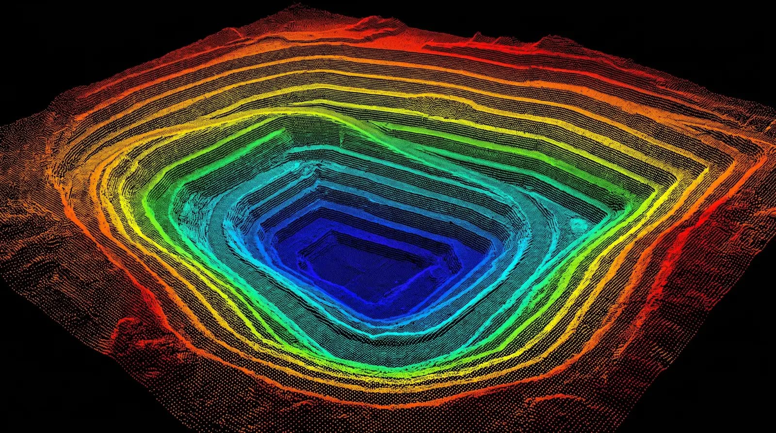
Ground returns where a camera sees only canopy — classified, and delivered as the raw measured record.
±30 mm horizontal →
04
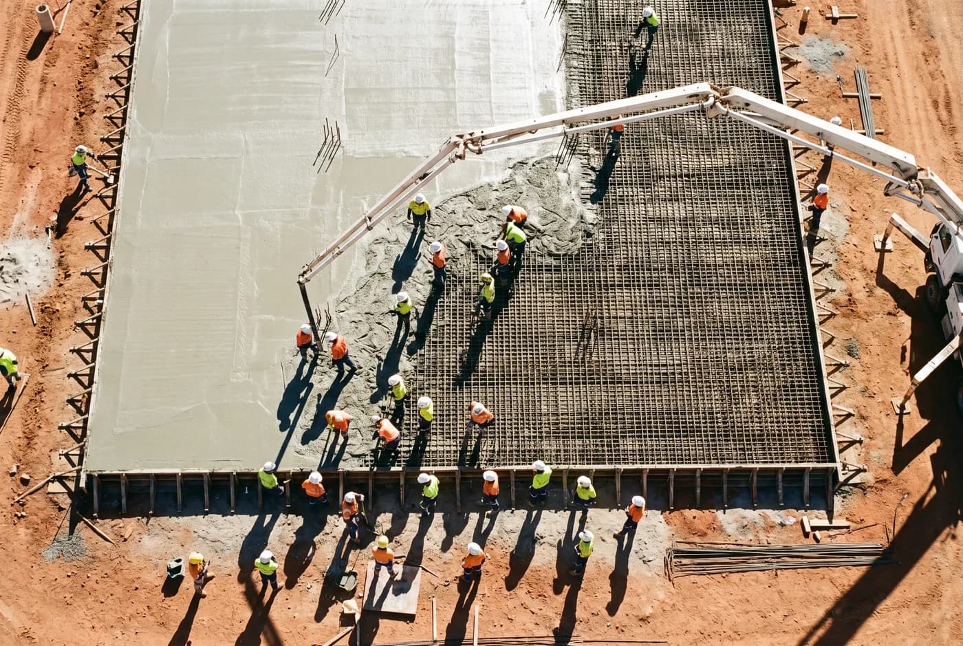
Construction progress capture
The same site, the same flight plan, on a fixed interval — so two captures are directly comparable.
±25 mm horizontal →
05
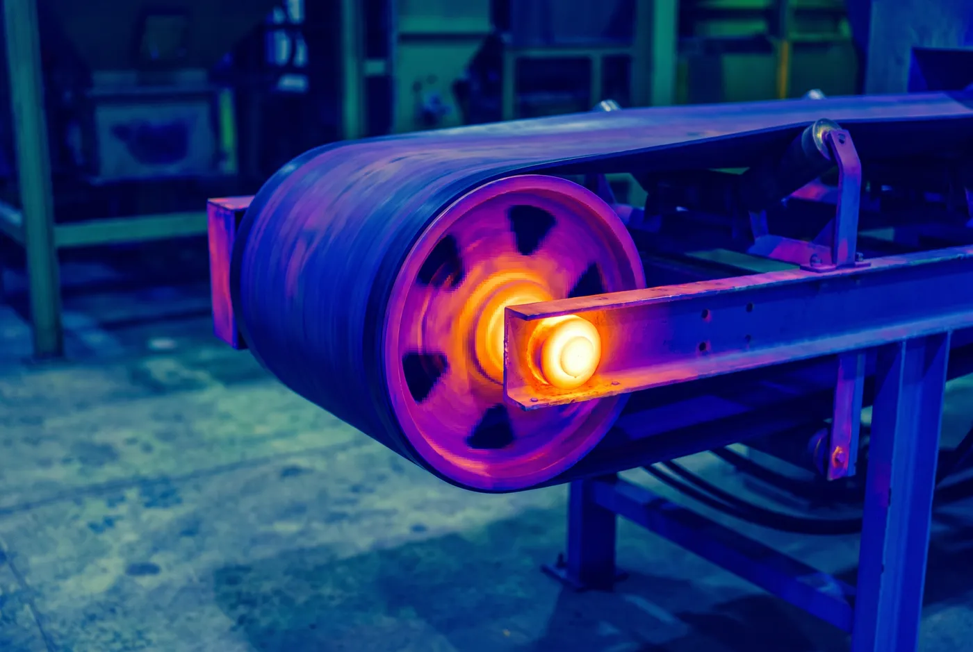
Asset and thermal inspection
Visual and thermal inspection of structures and plant, indexed to asset ID and delivered as a findings set.
2 mm/px at 8 m standoff horizontal →
04 / What proves it
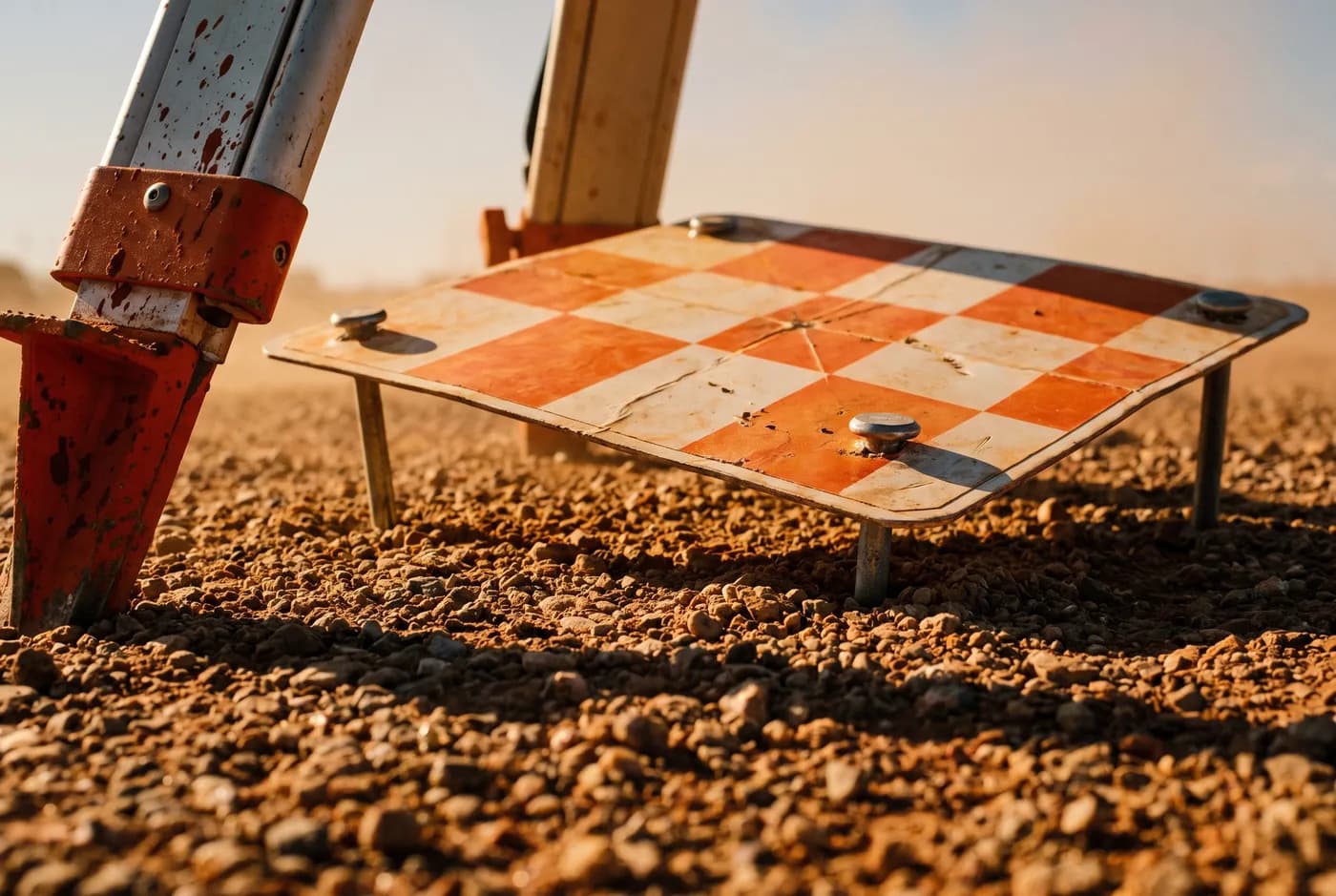
Independent checkpoints left out of the adjustment. ±25 mm horizontal, ±40 mm vertical, and the residual at each one published in the control report.
What the aircraft records. A raw point cloud. Millions of measured returns, classified by nothing yet.
What it resolves into. The surface, with the ground separated from everything standing on it.
What it is tied to. Ground control, on GDA2020 / MGA Zone 50. Not a local grid that only agrees with itself.
What proves it. Independent checkpoints left out of the adjustment. ±25 mm horizontal, ±40 mm vertical, and the residual at each one published in the control report.
02 / The part nobody publishes
Every operator says survey-grade. We show you the residuals.
We checked the category before we built this. The strongest competitor in Perth claims “survey-grade accuracy” and “verified accuracy” and publishes no number anywhere — verified against what, to what tolerance, evidenced how? Your surveyor will ask exactly that, and an adjective is not an answer.
Every job we deliver ships with a control report: the control network we used, the independent checkpoints we deliberately left out of the adjustment, and the measured residual at each one. You can check our work. That is the whole idea.
03 / Who we work for
Three industries. Different words for the same problem.
Mining reconciles. Civil substantiates. Agriculture plans. All three need a measured surface they can defend.
01
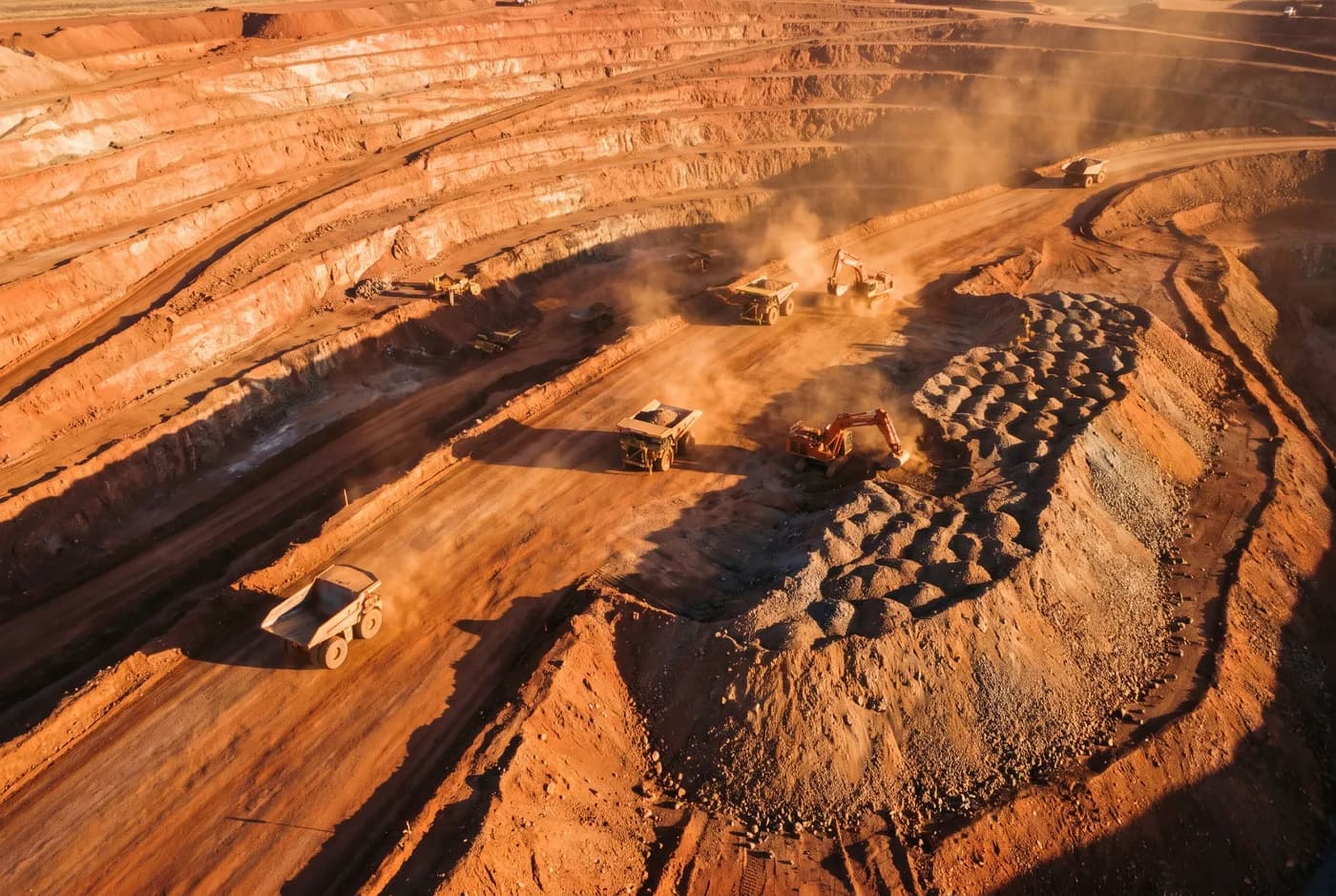
Mining and resources
Reconciliation-grade volumes and pit surfaces, captured without ground disturbance and delivered inside the month-end window.
02
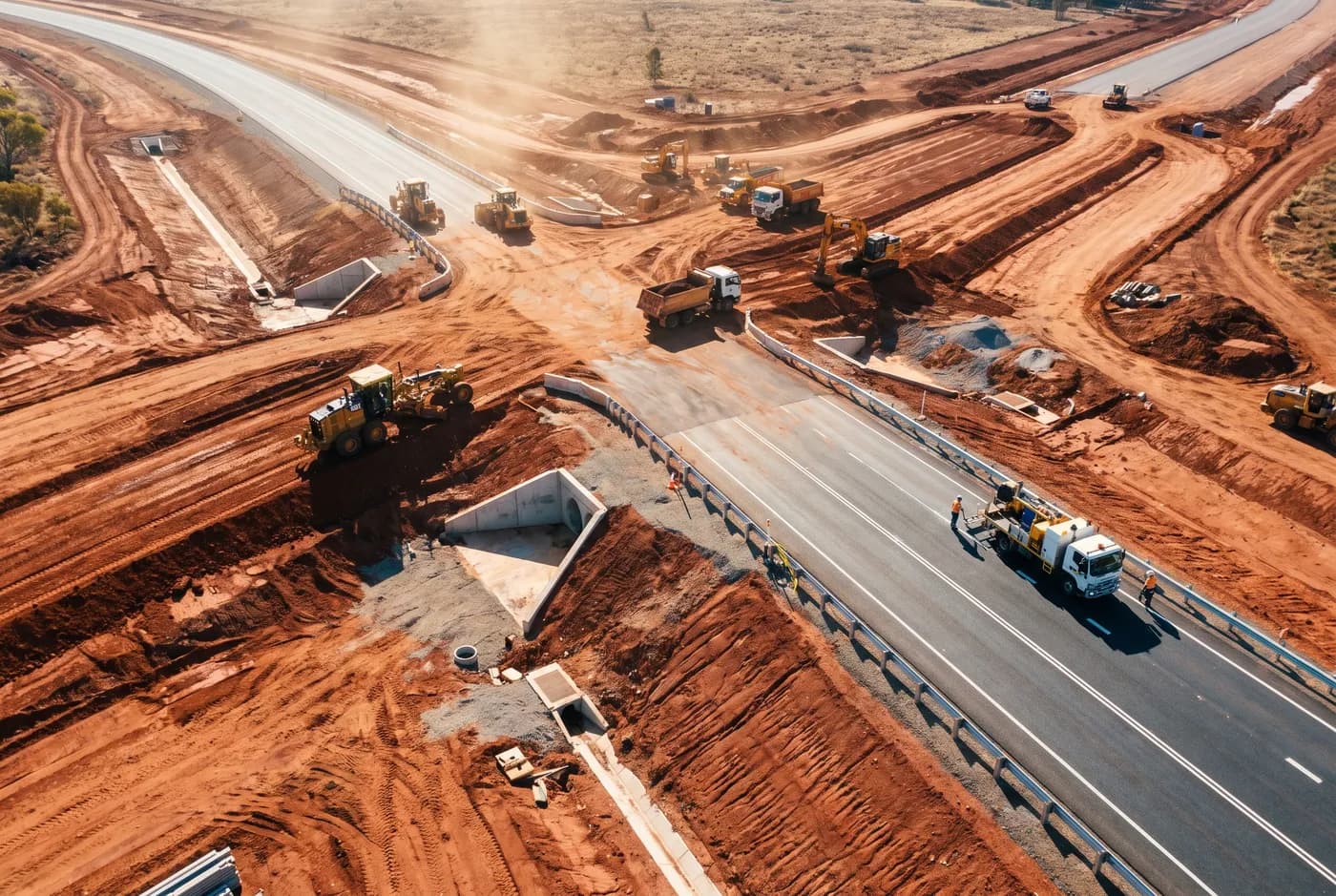
Civil construction and infrastructure
Dated, georeferenced evidence of what was built and when — in the format your design software already opens.
03
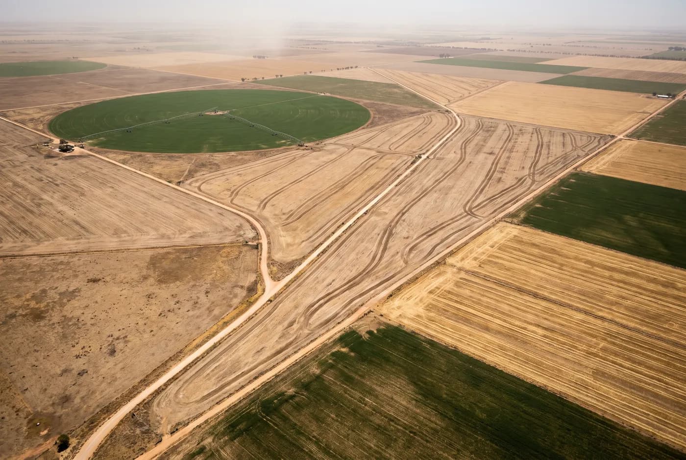
Agriculture and land management
Terrain models over whole properties, at a scale that makes drainage and earthworks planning a measurement rather than a judgement.
04 / What arrives
Named formats. Named datum.
If your software cannot open it, we have not delivered. Formats and datum are agreed at quote, not discovered at delivery.
GDA2020 · MGA Zone 50 · AHD heights
- Classified point cloudLAS 1.4 / LAZ
- Digital terrain modelGeoTIFF / ASC
- Digital surface modelGeoTIFF
- OrthomosaicGeoTIFF / ECW
- Contours and breaklinesDXF / 12da
- Volume reportPDF + CSV