Capabilities
Five capabilities, one accuracy standard.
Each one has its own page, its own specification, and its own deliverable list. Pick the measurement you need — or tell us the problem and we will say which one fits.
01
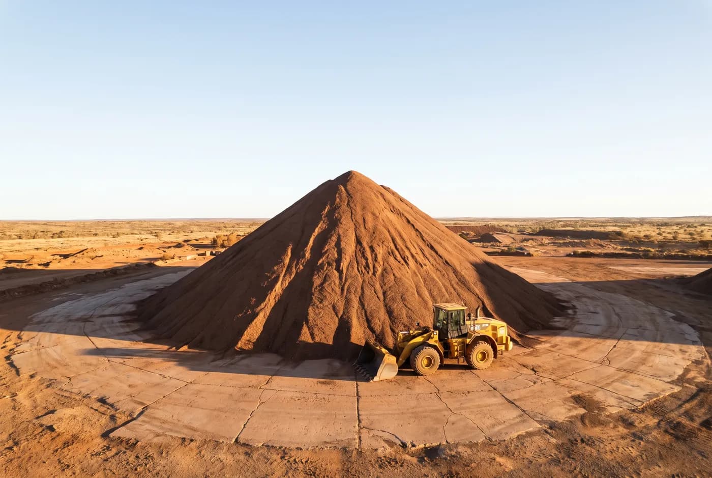
Stockpile volumetrics
Volume per stockpile against a stated base surface, with the surface supplied so your own people can recalculate it.
- Horizontal
- ±25 mm (1σ, checkpoint residual)
02
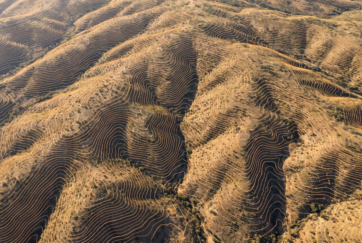
Topographic and as-built survey
Contours, breaklines and terrain models at your stated interval, in the format your design software already opens.
- Horizontal
- ±25 mm (1σ, checkpoint residual)
03
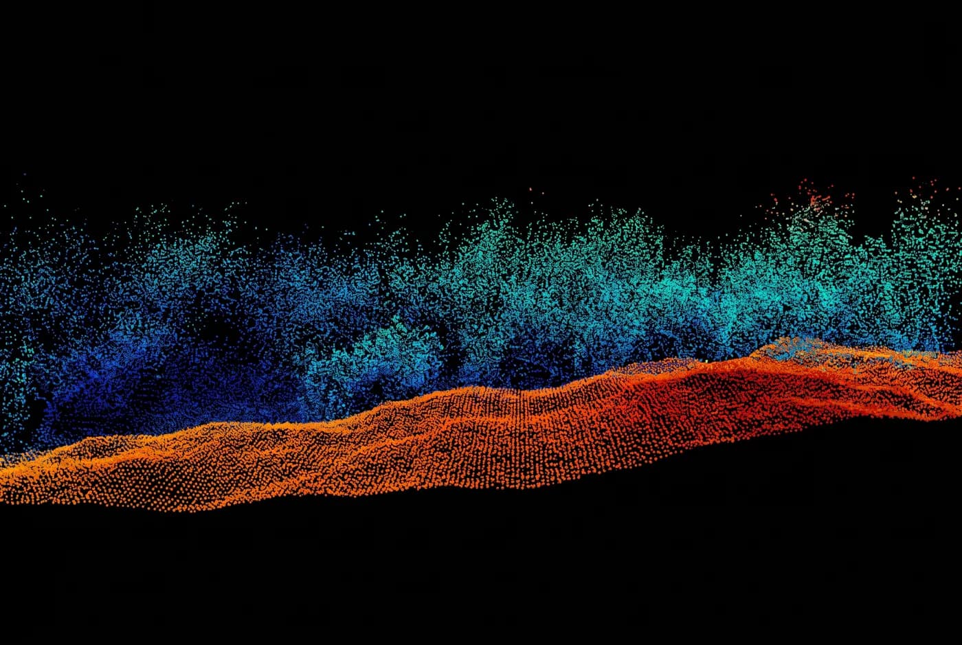
LiDAR capture
Ground returns where a camera sees only canopy — classified, and delivered as the raw measured record.
- Horizontal
- ±30 mm (1σ, checkpoint residual)
04
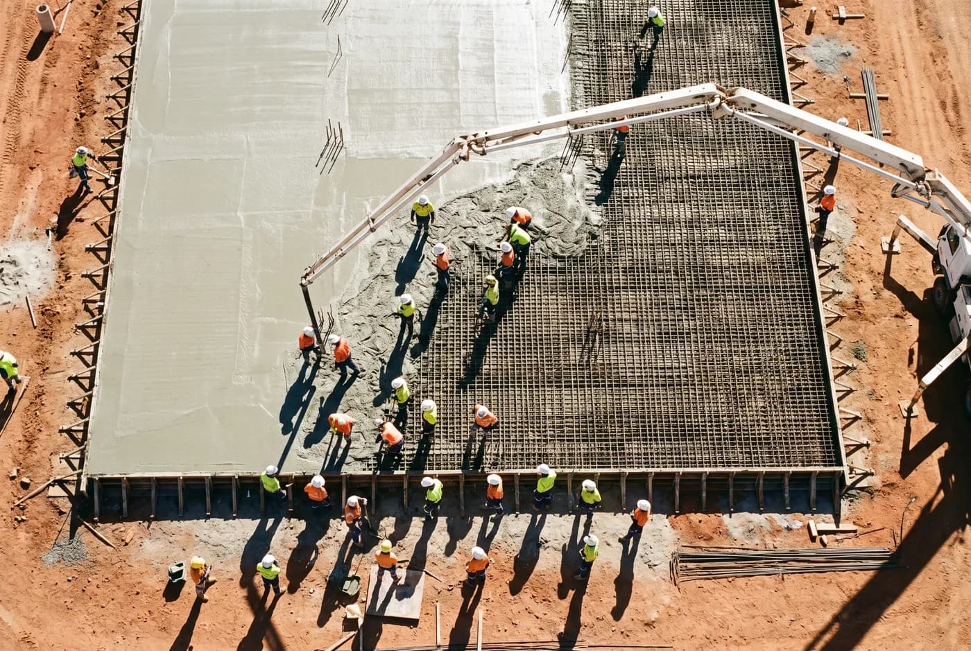
Construction progress capture
The same site, the same flight plan, on a fixed interval — so two captures are directly comparable.
- Horizontal
- ±25 mm (1σ, checkpoint residual)
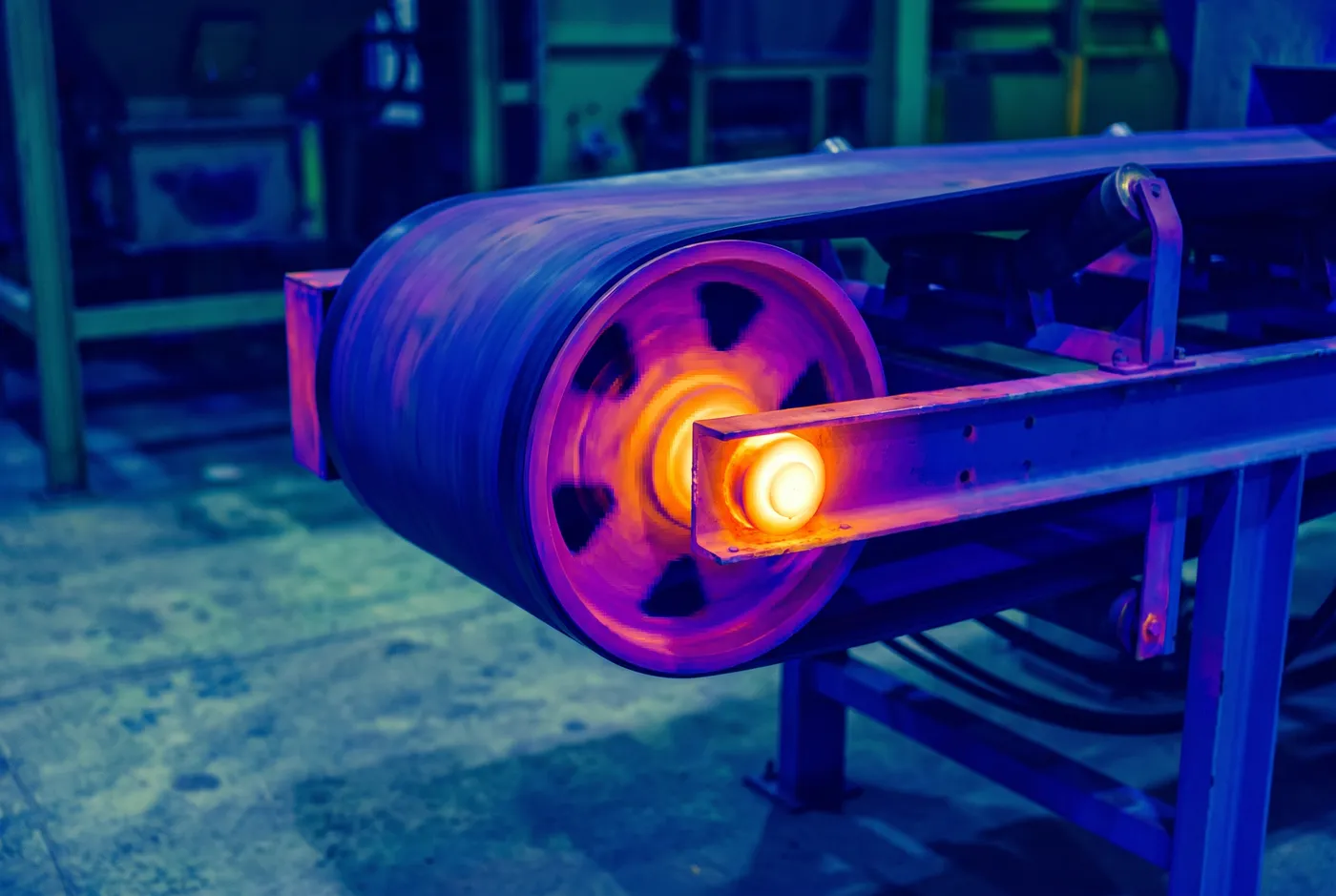
05
Asset and thermal inspection
Visual and thermal inspection of structures and plant, indexed to asset ID and delivered as a findings set.
- Horizontal
- 2 mm/px at 8 m standoff