Accuracy
How we control accuracy
Every operator in this category claims survey-grade. This page is what that claim looks like when it is checked — the control network, the checkpoints, and the residuals we measured at them.
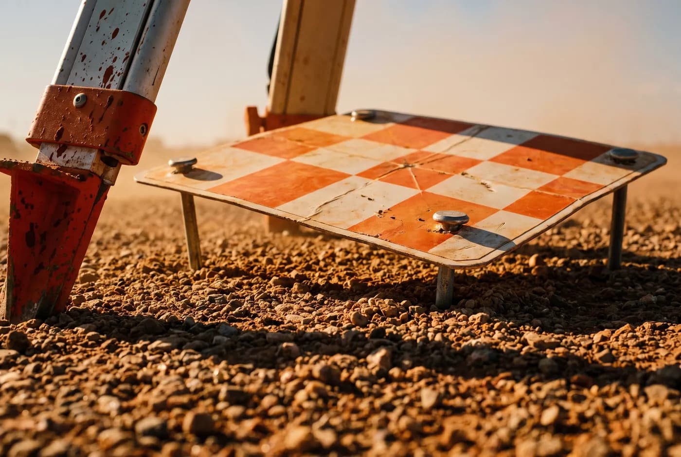
01 / Control network
Targets on the ground, observed properly
Ground control targets are placed across the site and observed with a GNSS rover on a network RTK correction, or on a base station where coverage is poor. The number and distribution depend on the site — a long corridor needs a different network from a compact pad, and getting this wrong is the most common reason aerial data does not tie in.
Control is what ties the survey to your datum. Without it, a photogrammetric block is internally consistent and floating in space: it looks correct and sits in the wrong place.
02 / Independent checkpoints
The part that makes it checkable
Some targets are deliberately excluded from the adjustment. They are surveyed to the same standard, but the processing never sees them.
When the dataset is finished, we measure the difference between where each excluded checkpoint really is and where our data says it is. That difference is the residual. Because those points did not shape the result, the residual is a genuine error figure rather than a self-check — which is exactly why it is the number worth publishing.
03 / Specimen
What a residual table looks like
This is a specimen, not a real job. It is the shape of the table that ships with every dataset, so you know what you are getting before you buy it.
| Checkpoint | Δ Easting (m) | Δ Northing (m) | Δ Height (m) |
|---|---|---|---|
| CP-01 | +0.011 | -0.008 | +0.022 |
| CP-02 | -0.017 | +0.013 | -0.031 |
| CP-03 | +0.006 | +0.019 | +0.018 |
| CP-04 | -0.009 | -0.014 | -0.026 |
| CP-05 | +0.021 | +0.004 | +0.037 |
| CP-06 | -0.013 | -0.021 | -0.019 |
- ±25 mm
- Horizontal, 1σ
- ±40 mm
- Vertical, 1σ
- 6
- Independent checkpoints
04 / The control report
What ships with every job
- The control network — every ground control point, its coordinates, and how it was observed
- The independent checkpoints, listed separately, and the statement that they were excluded from the adjustment
- The residual measured at each checkpoint, in easting, northing and height
- The RMSE and the 1σ figure derived from those residuals
- The datum, projection and vertical reference used
- The flight parameters — altitude, overlap, ground sample distance achieved
- The date, the operator and the aircraft
GDA2020 · MGA Zone 50 · AHD heights
05 / What we do not claim
The limits, stated
We do not claim a figure we did not measure
The accuracy on each capability page is the residual we typically achieve at checkpoints, not the number on the sensor’s datasheet. Sensor specifications are measured in a laboratory; sites have dust, wind and terrain.
We do not certify a boundary
Cadastral boundary definition is the work of a licensed surveyor and requires a different process. Where a job needs a boundary certified, we say so and work alongside your surveyor rather than around them.
We do not hide behind “survey-grade”
The phrase means nothing on its own. If a supplier uses it without a number and a method, the right question is what tolerance, measured how, against what.