01 / Capability
Stockpile volumetrics
A tonnage figure is only worth what the survey behind it is worth.
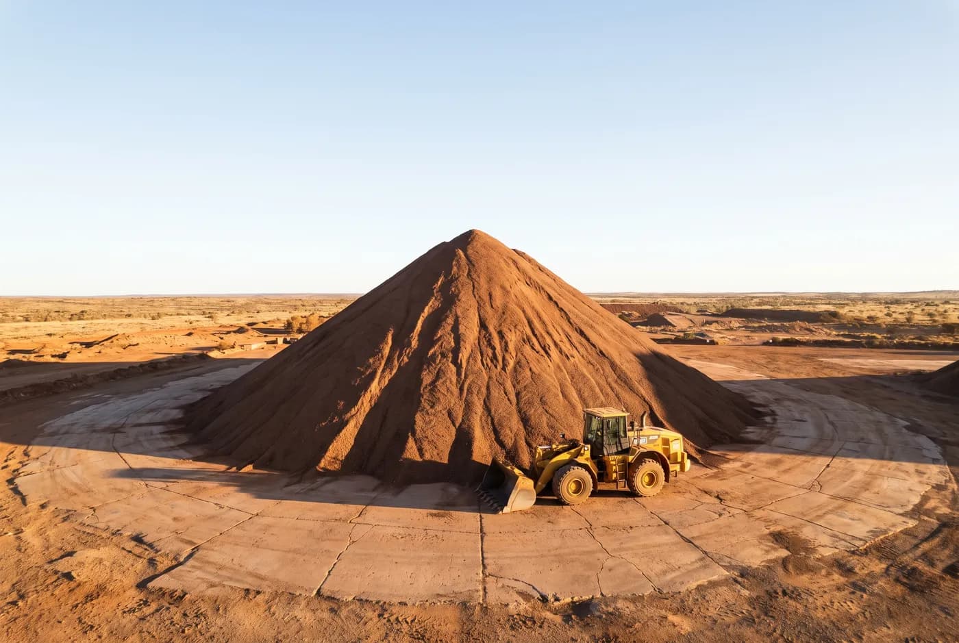
What it is
Month-end reconciliation depends on a number that somebody has to sign. Ground survey of a live stockpile pad means a person walking on and around material that moves, at a density of points low enough that the surface between them is interpolation. A flight captures the whole pad at fifteen millimetres per pixel in under an hour, with nobody on the ground.
Specification
The numbers, published
- Horizontal accuracy
- ±25 mm (1σ, checkpoint residual)
- Vertical accuracy
- ±40 mm (1σ, checkpoint residual)
- Ground sample distance
- 15 mm/px at 90 m AGL
- Volume repeatability
- ±0.8% on a 20,000 m³ pile
- Deliverables
- LAS 1.4, GeoTIFF DTM, PDF + CSV volume report, control report
- Datum / projection
- GDA2020 / MGA Zone 50, AHD heights
- Turnaround
- 48 hours from flight
Accuracies are 1σ residuals measured at independent checkpoints excluded from the adjustment. Every figure on this page is invented for a demonstration build.
Method
How we do it
Base surface agreed before we fly
A volume is meaningless without the surface it is measured to. We agree the base — a survey of the bare pad, a design surface, or a previous capture — and state it on the report. Two operators quoting different volumes for the same pile are usually using different bases.
Control on the pad, checkpoints off it
Ground control targets are placed and surveyed around the pad. Independent checkpoints are placed too, and deliberately excluded from the adjustment, so the residual measured at them is a real error figure rather than a self-check.
The surface ships with the number
You get the volume and you get the terrain model it came from. Your surveyor can load the surface, apply their own base, and get their own number. That is the point.
In your industry