02 / Capability
Topographic and as-built survey
Built where the design says, or not. The survey settles it.
What it is
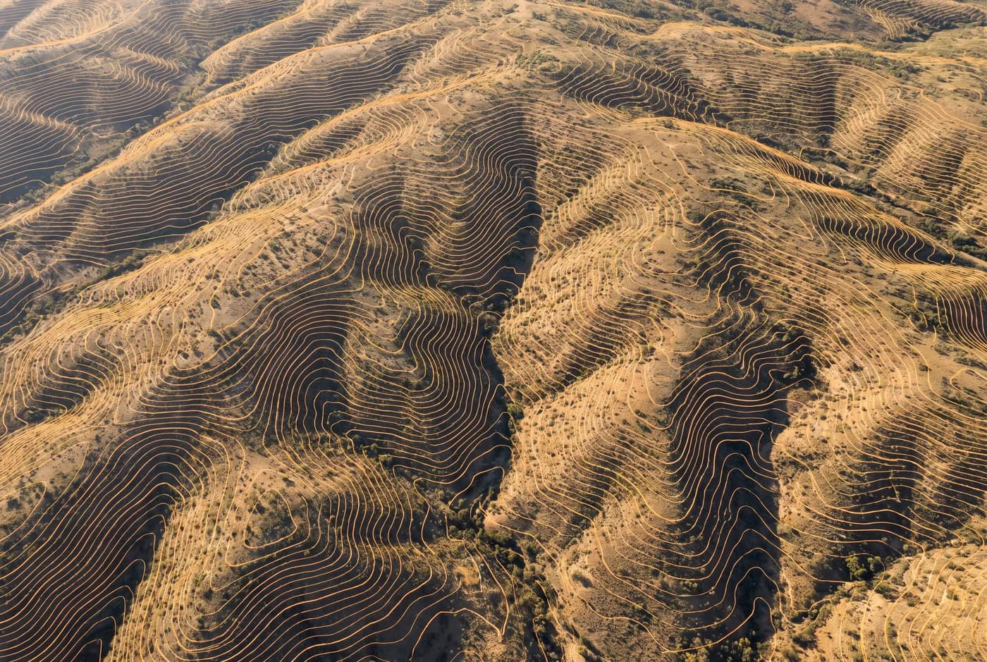
A conformance check asks one question: is the built surface within tolerance of the design surface? Answering it needs a measured surface dense enough that the answer is not an interpolation between rover shots twenty metres apart. Aerial capture gives a point every twelve millimetres, and breaklines drawn where the landform actually breaks.
Specification
The numbers, published
- Horizontal accuracy
- ±25 mm (1σ, checkpoint residual)
- Vertical accuracy
- ±40 mm (1σ, checkpoint residual)
- Ground sample distance
- 12 mm/px at 70 m AGL
- Contour interval
- 0.1 m to 1.0 m, your choice
- Deliverables
- DXF, 12da, GeoTIFF DTM and DSM, LAS 1.4, control report
- Datum / projection
- GDA2020 / MGA Zone 50, AHD heights
- Turnaround
- 48 hours from flight
Accuracies are 1σ residuals measured at independent checkpoints excluded from the adjustment. Every figure on this page is invented for a demonstration build.
Method
How we do it
Breaklines are drawn, not derived
Crests, toes, kerb lines and drainage inverts are picked as breaklines rather than left to a contouring algorithm. A contour set generated straight off a point cloud looks fine and rounds off every edge that matters.
Your format, your datum, before we deliver
DXF or 12da, layer naming to your standard, GDA2020 / MGA Zone 50 with AHD heights unless you specify otherwise. Agreed at quote, not discovered at delivery.
Checked against the design
Where a design surface is supplied, we return a cut/fill comparison against it — so the conformance answer arrives with the survey rather than a week later.
In your industry
Where this gets used
01
Mining and resources
Pit surfaces, batter conformance, toe and crest, haul road design checks.
02
Civil construction and infrastructure
As-built surfaces, conformance against design, contours and breaklines in DXF or 12da.
03
Agriculture and land management
Paddock and whole-property terrain models for drainage, levee and levelling design.