03 / Capability
LiDAR capture
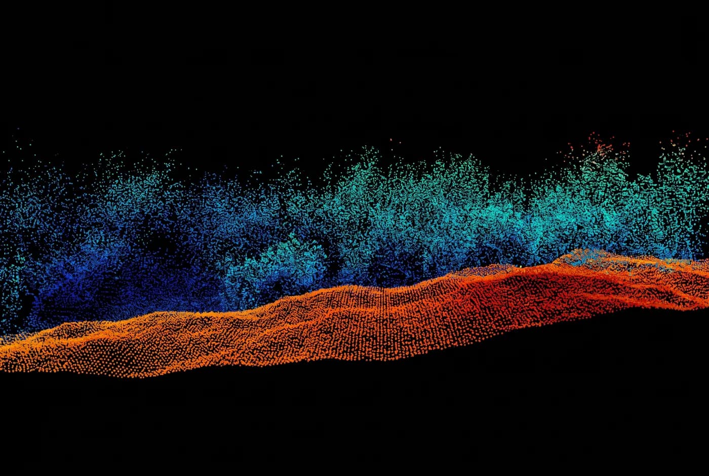
Ground under scrub, through light dust, at night. Photogrammetry cannot do this.
What it is
Photogrammetry measures what the camera can see. Under scrub, in light dust, or in poor light, that is the top of the vegetation and not the ground beneath it. LiDAR sends its own pulse and records multiple returns, so the last return finds ground where an image never could.
Specification
The numbers, published
- Horizontal accuracy
- ±30 mm (1σ, checkpoint residual)
- Vertical accuracy
- ±35 mm (1σ, checkpoint residual)
- Point density
- 180–400 pts/m² depending on altitude
- Returns
- Up to 5 per pulse
- Deliverables
- LAS 1.4 classified, LAZ, GeoTIFF DTM, control report
- Datum / projection
- GDA2020 / MGA Zone 50, AHD heights
- Turnaround
- 72 hours from flight — classification takes longer
Accuracies are 1σ residuals measured at independent checkpoints excluded from the adjustment. Every figure on this page is invented for a demonstration build.
Method
How we do it
Classification is manual where it matters
Automatic ground classification is a starting point. Batters, stockpile toes and drainage lines are checked and corrected by hand, because those are exactly the places automatic classification puts ground in the wrong spot.
Flown lower and slower than a camera job
Point density is a function of altitude and speed. We state the density achieved on the report rather than the density the sensor is capable of in a brochure.
The point cloud is the deliverable, not a by-product
You receive the classified cloud in LAS 1.4, not just the surface derived from it. If you disagree with our classification you can redo it.
In your industry
Where this gets used
01
Mining and resources
Ground under scrub on lease boundaries and rehabilitation areas, and capture through light dust.
02
Civil construction and infrastructure
Corridor survey where vegetation obscures ground, and capture in poor light.
03
Agriculture and land management
Ground surface under standing crop, scrub and remnant vegetation.