About
Surveyors who fly, not pilots who survey
Founded 2019 in Welshpool. The reason our data ties in is that the people producing it came from survey, not from photography.
How we got here
The order matters
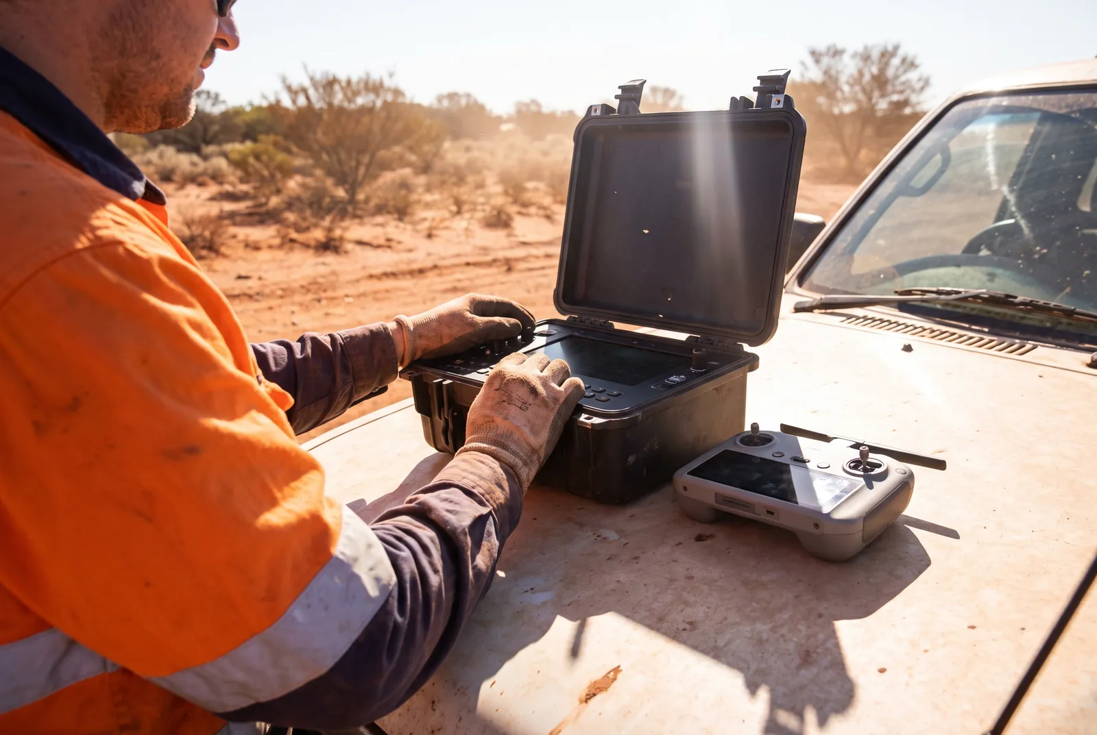
Most drone survey businesses start with an aircraft and learn survey afterwards. That order produces datasets that look right and do not tie in — no control network, the wrong datum, a format nobody can open, and an operator who cannot explain why the numbers moved between two captures.
We started from the other end. The people flying here spent years on ground survey before they touched an aircraft, which is why the control network gets designed before the flight plan does, and why every job leaves with a control report whether the client asked for one or not.
It also means we know what we cannot do. Cadastral boundary definition is a licensed surveyor’s work and we will say so rather than take the job.
Accreditation
- Remote Operator Certificate
- ReOC 0000-0000 (placeholder)
- Remote pilot licences
- 4 × RePL, multirotor and fixed-wing
- Public liability
- $20m, certificate on request
- Professional indemnity
- $5m
- Site inductions
- WA resources standard, construction white card
- Pre-mobilisation
- JSA issued and airspace checked before every job
Where we work
Perth, and anywhere in WA with a road to it
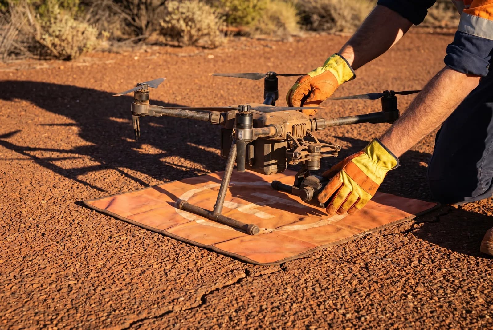
Based in Welshpool, ten minutes from the airport and on the right side of town for the Great Eastern Highway. Metropolitan and Peel jobs are usually flown within the week; Goldfields, Mid West and Pilbara work is mobilised as a block, so a single site in Newman costs more per hectare than four sites in one trip.
- 2019
- Founded
- 48 h
- Standard turnaround
- WA
- Area served
Disclosure
None of this is real
Datum Aerial is a demonstration build. The company does not exist. The address, the phone number, the ABN and the people described above are invented.
The Remote Operator Certificate number shown on this site is ReOC 0000-0000 (placeholder) — a deliberate placeholder, not a certificate. No CASA authorisation is held by anyone in connection with this site.
The accuracy figures, residuals and turnaround times throughout are invented to show what a specification looks like when it is published. They are not measured results.
Every photograph on this site was generated by an image model. No real person, real aircraft, real mine, real construction site or real farm appears anywhere on it.