Deliverables
What arrives, in what format
Named formats, named datum, named projection. If your software cannot open it, we have not delivered — so it is agreed at quote rather than discovered at delivery.
Every deliverable
Eight things we produce
Classified point cloud
LAS 1.4 / LAZEvery returned point, classified to ground, vegetation and structure. The raw measured record everything else is derived from.
Digital terrain model
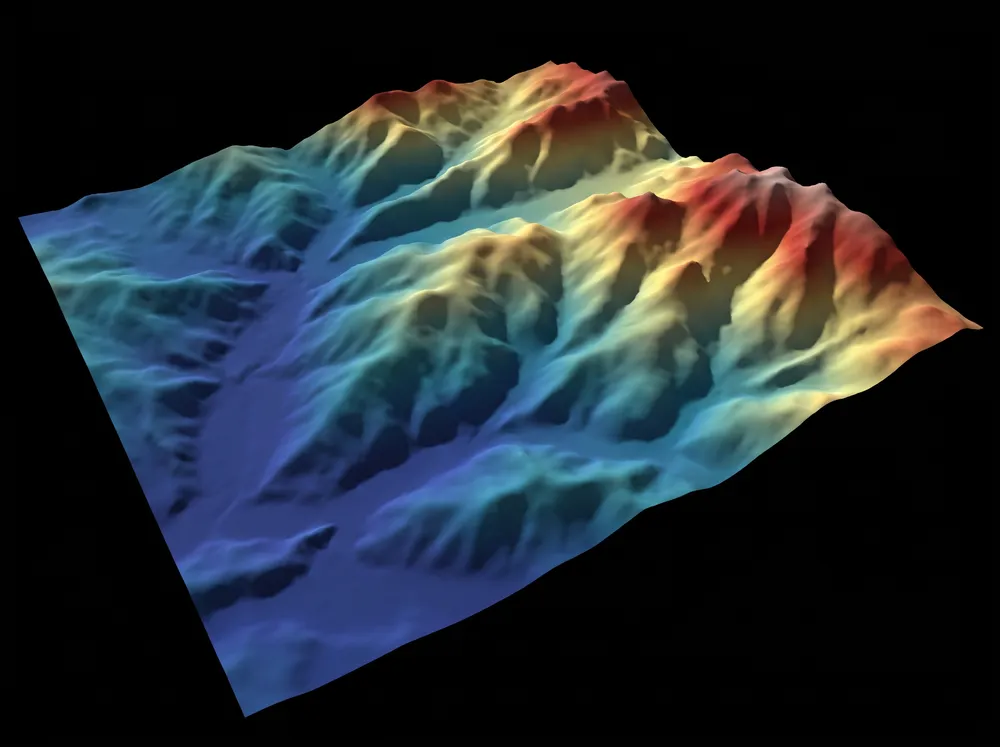
GeoTIFF / ASCBare-earth surface with vegetation and structures removed. What earthworks volumes are calculated against.
Digital surface model
GeoTIFFEverything as it stands, including canopy and built structure.
Orthomosaic
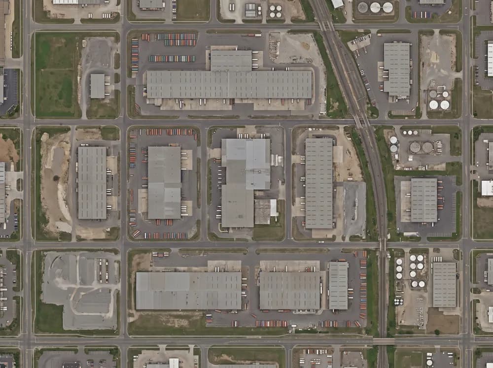
GeoTIFF / ECWA single georeferenced image at uniform scale across the whole site. A map, not a photograph.
Contours and breaklines
DXF / 12daContours at your stated interval, with breaklines at crests, toes and drainage.
Volume report
PDF + CSVVolume per stockpile against a stated base surface, with the surface supplied so it can be recalculated.
Control report
PDFThe control network, the independent checkpoints, and the measured residual at each one. Ships with every job.
Stockpile volumetricsTopographic surveyLiDARProgress capture
Inspection set
JPG + PDFAnnotated imagery and thermal anomalies, indexed to asset ID.
Datum and projection
Where it sits
- Horizontal datum
- GDA2020
- Projection
- MGA Zone 50
- Vertical reference
- AHD (Australian Height Datum)
- Alternatives on request
- GDA94, local mine grid, arbitrary site datum
Before we fly
Tell us the format your design or reconciliation software actually opens, and the datum your existing control is on. Both go on the quote. A dataset delivered on the wrong grid is a dataset delivered twice.
Request a quote