01 / Industry
Mining and resources
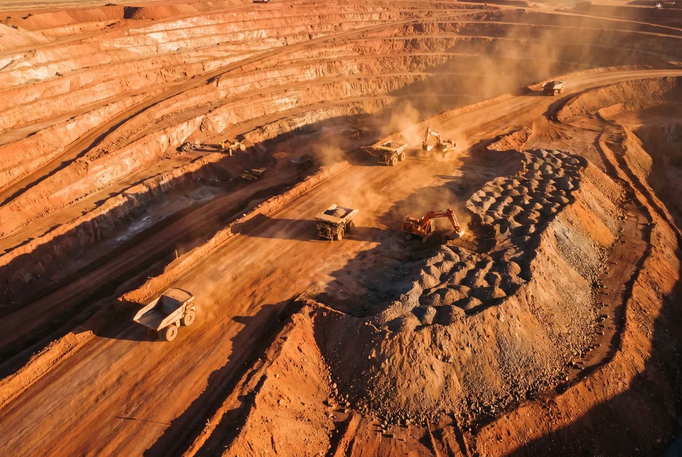
Month-end reconciliation, pit progression and stockpile tonnage — without putting a crew in the pit.
The problems
What we get called about
01
Month-end lands whether the survey does or not
Reconciliation has a date. A ground crew that cannot get on the ROM pad until the fourth has already made the number late, and a late number gets estimated. An aerial capture takes an hour and delivers in forty-eight.
02
Somebody has to walk the pile
Ground survey of stockpiles and active benches means a person on foot near moving material and working plant. That exposure is getting harder to justify at every site we work on, and it is the first thing a ground-disturbance permit asks about.
03
The volume gets challenged
A reconciliation variance triggers a question about the survey. If the answer is "the operator said survey-grade", the survey loses. If the answer is a control report with residuals at six independent checkpoints, it does not.
04
Pit progression needs the same surface every time
Comparing this month to last month only works if both were captured against the same control. Two independently-controlled surveys of the same pit will disagree, and the disagreement will be blamed on the pit.
What we capture
The capabilities that apply here
01
Stockpile volumetrics
ROM pads, product stockpiles and waste dumps, against a stated base surface.
±25 mm horizontal →
02
Topographic and as-built survey
Pit surfaces, batter conformance, toe and crest, haul road design checks.
±25 mm horizontal →
03
LiDAR capture
Ground under scrub on lease boundaries and rehabilitation areas, and capture through light dust.
±30 mm horizontal →
05
Asset and thermal inspection
Conveyor gantries, headframes and tank roofs without rope access or a shutdown.
2 mm/px at 8 m standoff horizontal →
Accreditation and access
Getting on site
We operate under a CASA Remote Operator Certificate with public liability cover, and our crews carry standard WA resources site inductions. A job safety analysis is issued before mobilisation and airspace is checked against the site’s own aviation requirements — most operating sites have them, and a drone operator who does not ask is a problem.