02 / Industry
Civil construction and infrastructure
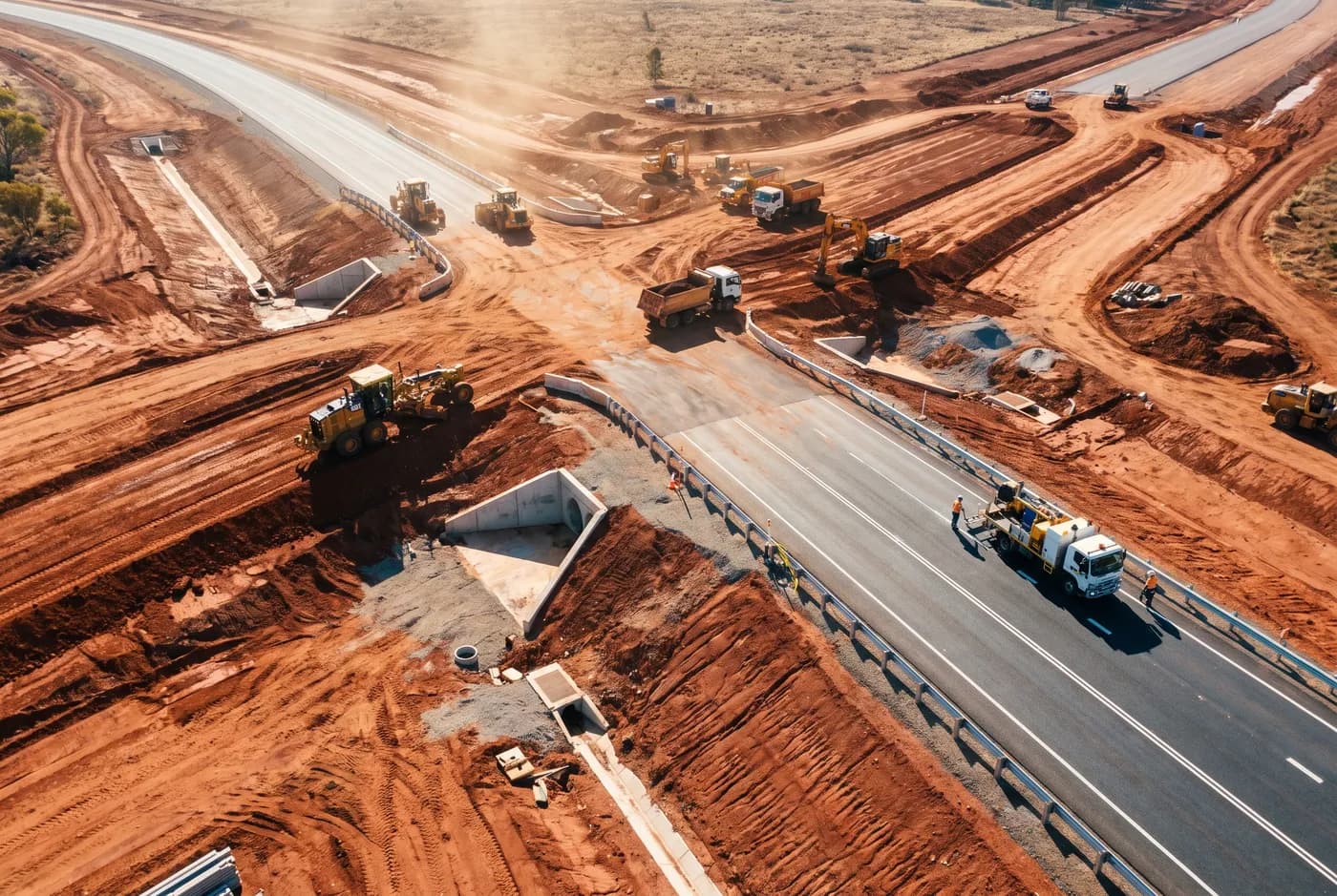
Conformance, as-builts and claim substantiation, captured in an hour.
The problems
What we get called about
01
A claim is a statement about a date
Ground photographs argue about progress. A georeferenced orthomosaic captured on the thirtieth, against the same control as last month, does not. It is the difference between a discussion and a document.
02
Conformance needs density, not spot heights
A rover shot every twenty metres tells you about twenty metres apart. Between them is interpolation. Aerial capture at ten millimetres per pixel finds the low spot that a spot-height survey walks straight past.
03
Earthworks volumes get disputed both ways
Cut and fill quantities are money. Supplying the surface alongside the volume means the other side can check it — which is the fastest way to stop a dispute becoming a variation.
04
The file has to open
A survey delivered in a format your design package cannot import, or on a datum that does not tie to your control, has not been delivered. We agree DXF or 12da, layer naming and datum at quote.
What we capture
The capabilities that apply here
04
Construction progress capture
Fixed-interval capture on the same control, with a comparison against the previous month.
±25 mm horizontal →
02
Topographic and as-built survey
As-built surfaces, conformance against design, contours and breaklines in DXF or 12da.
±25 mm horizontal →
01
Stockpile volumetrics
Imported material, spoil and stockpile quantities on site.
±25 mm horizontal →
03
LiDAR capture
Corridor survey where vegetation obscures ground, and capture in poor light.
±30 mm horizontal →
Accreditation and access
Getting on site
CASA Remote Operator Certificate, public liability cover, and construction white card inductions. Where a corridor runs near a controlled aerodrome or a helicopter route, airspace approval is obtained before mobilisation and the approval reference goes on the job file.