03 / Industry
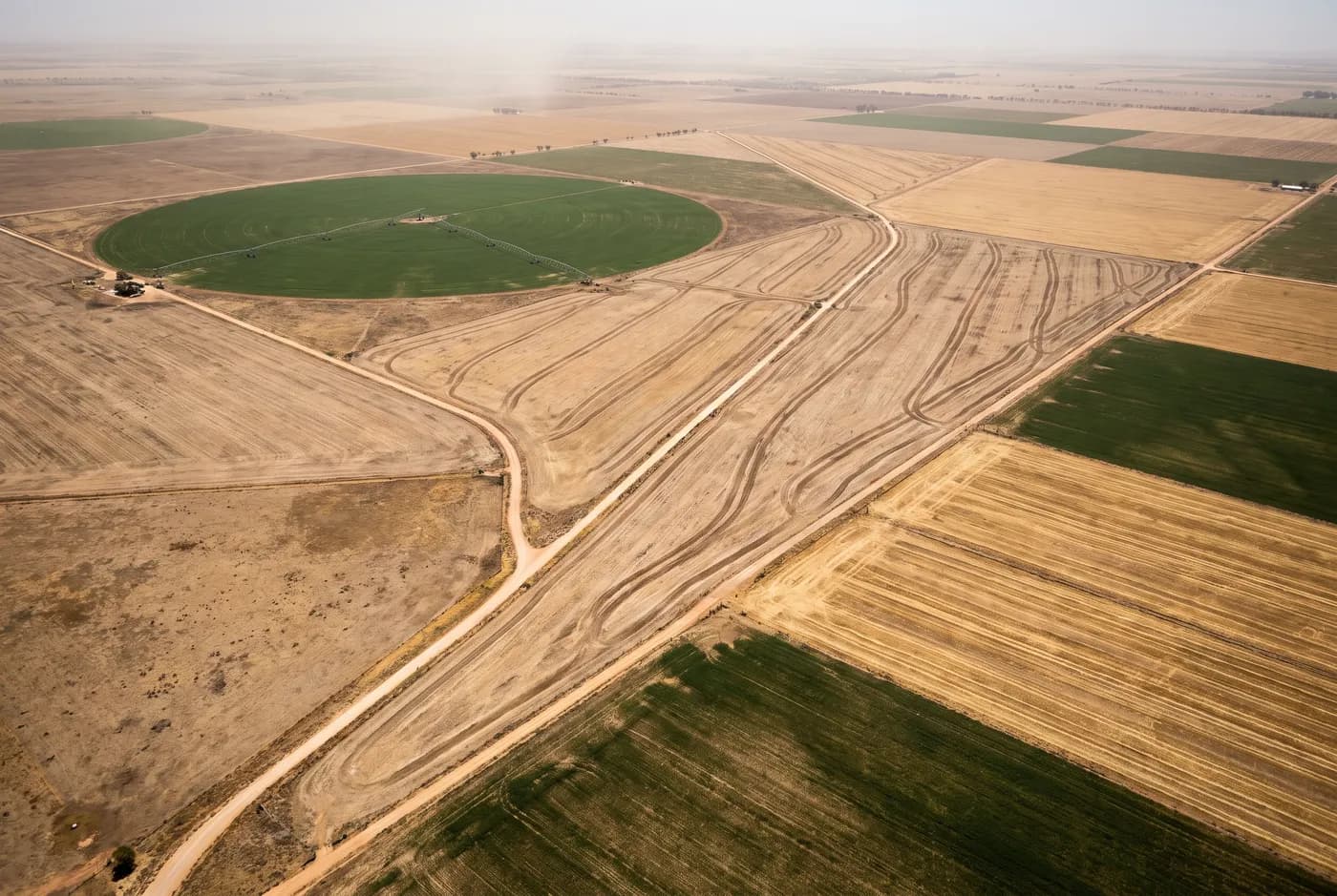
Agriculture and land management
Paddock-scale surfaces for drainage, earthworks and variable-rate planning.
The problems
What we get called about
01
Water goes where the ground says, not where the plan says
Drainage and levee planning on flat country needs vertical accuracy in the tens of millimetres over kilometres. Contour maps derived from public elevation data are not close enough to design against.
02
Earthworks are quoted off a guess
A dam, a levee or a laser-levelling job priced without a measured surface is priced on optimism. A terrain model turns the quantity into a number both parties can see.
03
The scale is the problem
Ground survey of a two-thousand-hectare property is not a proportionate exercise. Aerial capture covers it in a day and produces a surface, not a scatter of points.
04
Variable-rate planning needs a base layer
Zone maps built on yield data alone miss the terrain that caused the yield. A surface model underneath makes the zones explicable.
What we capture
The capabilities that apply here
02
Topographic and as-built survey
Paddock and whole-property terrain models for drainage, levee and levelling design.
±25 mm horizontal →
03
LiDAR capture
Ground surface under standing crop, scrub and remnant vegetation.
±30 mm horizontal →
04
Construction progress capture
Earthworks progress and completion evidence for contracted works.
±25 mm horizontal →
01
Stockpile volumetrics
Silage, compost, lime and gypsum stockpile quantities.
±25 mm horizontal →
Accreditation and access
Getting on site
CASA Remote Operator Certificate and public liability cover. Broadacre work is typically flown under standard operating conditions; where a property sits under a low-level route or near an airstrip, approval is obtained first. Landholder notification for neighbouring properties is arranged before the flight, not after.