04 / Capability
Construction progress capture
What was in place on the thirtieth, evidenced rather than argued.
What it is
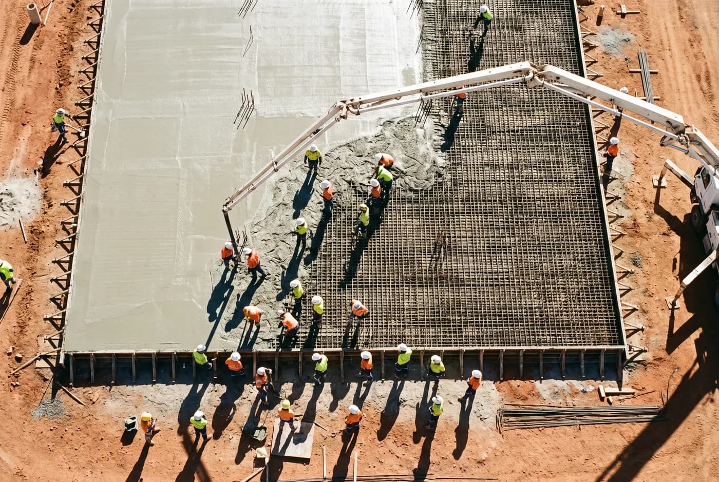
A progress claim is a statement about a date. Photographs from the ground argue about it; a georeferenced orthomosaic captured on the day settles it. Because every capture uses the same control network and the same flight plan, this month sits exactly on top of last month.
Specification
The numbers, published
- Horizontal accuracy
- ±25 mm (1σ, checkpoint residual)
- Vertical accuracy
- ±40 mm (1σ, checkpoint residual)
- Ground sample distance
- 10 mm/px at 60 m AGL
- Repeat registration
- Same control network each capture
- Deliverables
- GeoTIFF / ECW orthomosaic, DSM, comparison set, control report
- Datum / projection
- GDA2020 / MGA Zone 50
- Turnaround
- 48 hours from flight
Accuracies are 1σ residuals measured at independent checkpoints excluded from the adjustment. Every figure on this page is invented for a demonstration build.
Method
How we do it
The same control every time
Control targets are surveyed once and re-occupied on each capture. Two orthomosaics that share a control network can be compared pixel to pixel; two that do not are two separate pictures.
A fixed interval, booked ahead
Monthly, fortnightly or at agreed milestones. Booked in advance, because the value is in the series and a missed month cannot be recovered later.
Comparison, not just capture
Each delivery includes the current capture and a comparison against the previous one, so the change is the deliverable rather than something you have to find.
In your industry
Where this gets used
01
Mining and resources
Reconciliation-grade volumes and pit surfaces, captured without ground disturbance and delivered inside the month-end window.
02
Civil construction and infrastructure
Fixed-interval capture on the same control, with a comparison against the previous month.
03
Agriculture and land management
Earthworks progress and completion evidence for contracted works.